WUF 10
Published on April 27, 2020, by Sabine Vanhuysse
The SLUMAP team organized two events at the Tenth Session of the World Urban Forum (8-13 Feb. 2020, Abu Dhabi, UAE):
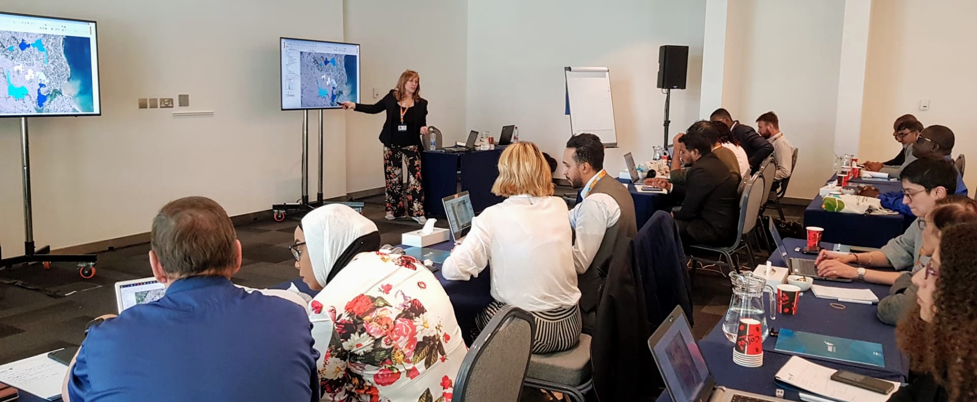
This training event allowed participants to assess and discuss the innovation potentials of open-source geospatial technology for supporting sustainable urban development processes. Using examples and showcases, participants got GIS hands-on experiences of how to work with spatial datasets and tailor them to their needs in terms of information and analysis in link with deprivation levels and deprived areas assets (e.g., cultural, physical, social, economic).
The target audience were planners, members of NGOs, community members, researchers and decision makers (global to local) having an interest in using spatial information/maps on deprived areas extracted from Earth Observation (EO) data (i.e., satellite images), but no or little knowledge in this field.
Programme of the training event
Download material
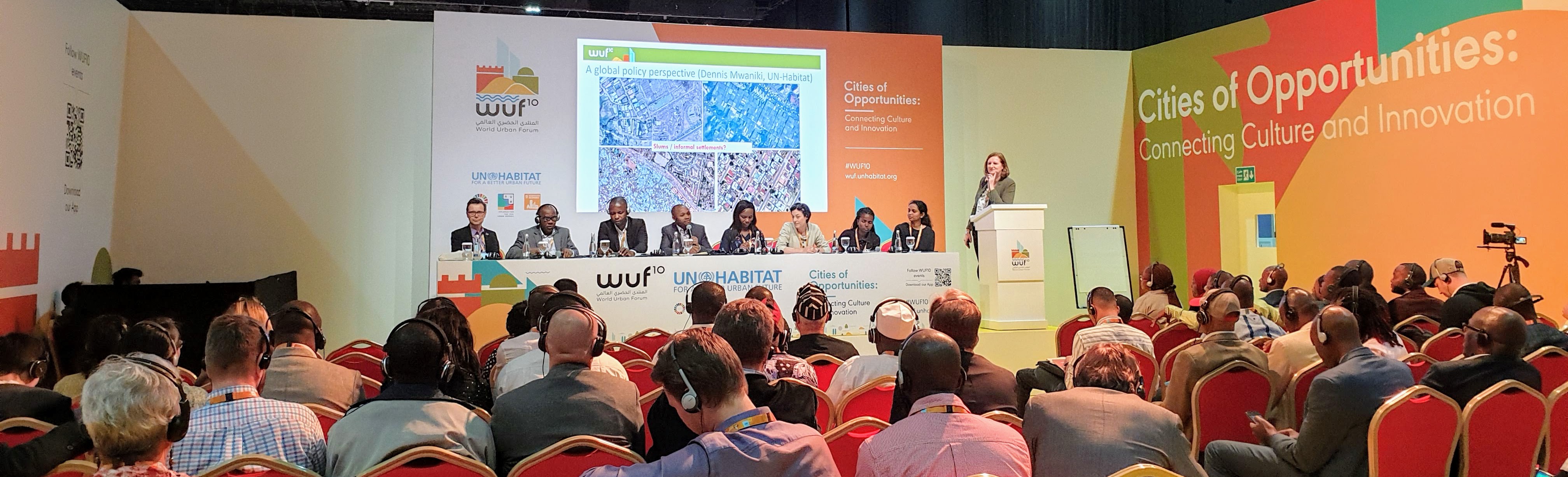
Networking event: Leveraging Crowd Wisdom to Better Understand the Technology and Ethics of Area Deprivation (“Slum”) Mapping.
This networking event was coordinated by a diverse stakeholder group representing the main approaches to neighbourhood deprivation mapping. We reviewed the strengths and limitations of existing mapping methods used to identify deprived areas, and introduced a working framework for an Integrated Deprivation Area Mapping System (IDeAMapS) that would leverage the strengths of each approach.