IGARSS 2021
Published on July 31, 2021, by Sabine Vanhuysse
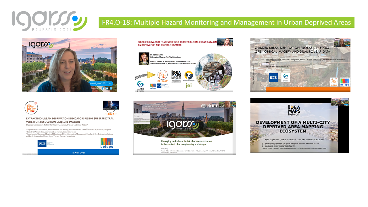
SLUMAP organised an invited session at IGARSS 2021: Multiple hazard monitoring and management in urban deprived areas
We showcased the contribution of novel Earth Observation approaches to support multiple hazard monitoring and management in African urban deprived areas, covering both primary and secondary cities.
First, the importance of low-cost frameworks to address global urban data gaps on deprivation and multiple hazards was highlighted.
Next, while maps of deprived areas are generally non-existent, partial or inaccurate, we presented a method for mapping their location and extent at the city scale. Implementing a grid-based approach and machine learning, we assessed the contribution of a large number of spectral and spatial features derived from open dual-pol SAR data and optical imagery, namely Sentinel-1 and Sentinel-2.
Then, we demonstrated the potential of automated processes that make use of superspectral very-high resolution remote sensing, OBIA and machine learning for characterizing deprived areas according to several indicators linked to overcrowding and the environment, and their potential for monitoring and managing anthropogenic and health-related hazards. We highlighted the variations among deprived areas within the same city, and across cities.
Thirdly, we gave an overview of characterizing the exposure of deprived areas to natural hazards. Earth Observation data and deep learning can provide a systematic assessment of the elements-at-risk within the deprived areas in the context of natural hazards, and their increase due to climate change. We provided a systematic overview of spatial dimensions multiple hazards impose upon deprived areas and their inhabitants, combining multi-sensor, multi-resolution and multi-temporal data.
Finally, insight was given into a deprived area mapping ecosystem that will ensure the repeatability of developed methods over multiple cities, in multiple countries. While most studies on urban deprived areas typically propose city-specific developments, repeatable methods are needed for the uptake of Earth Observation products by potential users, including city governments.