Objectives
The global objective of SLUMAP is to contribute to SDG 11 “Make cities and human settlements inclusive, safe, resilient and sustainable” by (i) improving our understanding of the potential of remote sensing for slum detection and characterization and (ii) developing a general, scalable and open-source methodological framework for sub-Saharan Africa, to support this task and to meet the requirements of the stakeholders in the big data era.
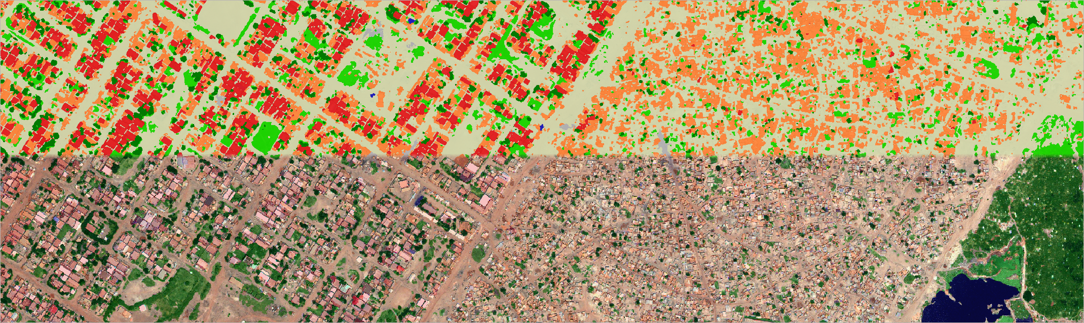
Despite the increasing number of publications using remote sensing for slum mapping, most of them focus on a single image analysis and on a single, geographically small case study. This leaves existing knowledge falling behind in terms of transferability and generalization, while the high cost of VHR imagery that is usually used constrains these prospects even more. Moreover, there exists no systematic assessment of the influence of different spatial and spectral resolutions on the results.
SLUMAP aims to transcend these limitations by performing a novel and systematic analysis that will i) utilize various multi-sensor/resolution approaches to identify slums at the city scale; ii) characterize the slum environment (intra-slum analysis) and extract interpretable indicators to be used by authorities; iii) assess each method with regards to its scalability, transferability, and resource burden; iv) heavily interact with national-, local- and community-level stakeholders; v) compile all the results into an operational, open-access compendium with evidence-based recommendations and tools to extract useful slum information in order to facilitate the use of RS as an operational solution for improving conditions of the poorest and most vulnerable urban populations in sub-Saharan Africa.
The main objectives of the project are:
- Critically assessing the contribution of different spectral and spatial resolutions of free or low-cost data against commercial optical RS imagery to map and characterize slum areas, and evaluating the benefit of each sensor considering acquisition costs.
- Comparing the efficiency of state-of-art image classification methods based on FOSS to map and characterize slums, and assessing their consistency across several case studies.
- Developing a general framework based on free or low-cost data, FOSS solutions and SoA methods that will allow for maintaining high accuracy while minimizing the costs, improving transferability and scalability and accelerating timely slum monitoring in support to evidence-based pro-poor policies.